Route: ALB-TSO-40I
Weather - ALB: Clear, 72 degrees, wind 010 degrees at 6 knots
Weather - TSO: Clear, 86 degrees, wind variable at 3 knots
Weather - 40I: Clear, 84 degrees, wind calm
Waking up this morning, the first thing I did was open up ForeFlight and check the weather. No matter how much bugging out early yesterday was clearly the logical, safe, and correct decision... curiosity's hard to quell. I swiped east to the Boston area and saw that the storm system appeared to have moved a bit more offshore than forecast.
In short, we probably could've stayed overnight and made it out without issue this morning. It was a little windy but not that different than when we departed last night. Of course, I'm also decidedly not much of a morning person and leaving early (that weather's still moving inland) would have necessitated an earlier wake-up than was required in Albany.
The weather was still mostly offshore this morning

We were able to take our time getting ready and grabbed breakfast at the hotel. It was around 10:30 when we pulled out of the parking lot; we pulled into Million Air about 15 minutes later. They called National to come pick up the rental car and we headed out onto the tarmac to load the plane. After a preflight and pit stop, I settled the fuel bill and we climbed into the plane for our long leg home.
Writing on taxi diagrams on screen can be handy

Following a brief mental hiccup (calling Ground for clearance at a Class C airport - oops) I contacted Clearance, who gave us a squawk code, departure heading, departure frequency. Readback correct, I went back over to Ground, who quickly cleared us to taxi to Runway 1. We were sitting behind a Piedmont Dash 8 for a few minutes before they departed. Tower cleared us for takeoff another minuted later after another plane cleared the crossing runway.
It was a great flight home overall, though we did have trouble with one ATC handoff
The weather was great - incredible visibility with just a few puffy clouds here and there. Tower handed us off to Departure, who cleared us on course about 10 miles north of the field just past Schenectady. We slowly climbed to 8,500 feet. I leveled there for a little while but the reported winds aloft were more favorable at 10,500... so I tried climbing up to check them out.
It took quite a while.
Turns out this old 172 seems to prefer the lower altitudes. We eventually got to 10,500 and our ground speed was basically the same as before, despite slightly reduced headwinds. I decided to wait for a bit to see how things went. Then I noticed I hadn't heard much from Albany in a while.
A bird's-eye view of the longest day I've ever spent in the left seat

There was occasional radio chatter but I couldn't really hear the controller. Seeing as we were nearly to Binghamton, I tried calling Binghamton Approach. No answer. Checking the charts, we were in New York Center's airspace, so I tried them. Again, no answer. Perplexed, I tried Binghamton again and finally got an answer.
I explained the predicament and lack of a handoff, but the controller just acknowleged our presence without any further discussion. Until about 2 minutes later when he came back, said we were hard to hear, and handed me back over to New York Center. Back over to them; this time they responded right back and we continued on our merry way. Same squawk code I dialed in before departing Albany and no further mention of any communication issues.
Elmira, NY from 10,500 feet

Continuing east, we were handed off from controller to controller until eventually reaching Pittsburgh, where I got cleared into the Class B airspace. We just skirted the north edge. The controller said he could just cut us loose at the edge of his sector if I was ok with that. I said that was fine, as we'd only be about 15 miles from our planned fuel stop by then. As we started our descent it got much warmer and bumpier as we dropped below about 6,000 feet.
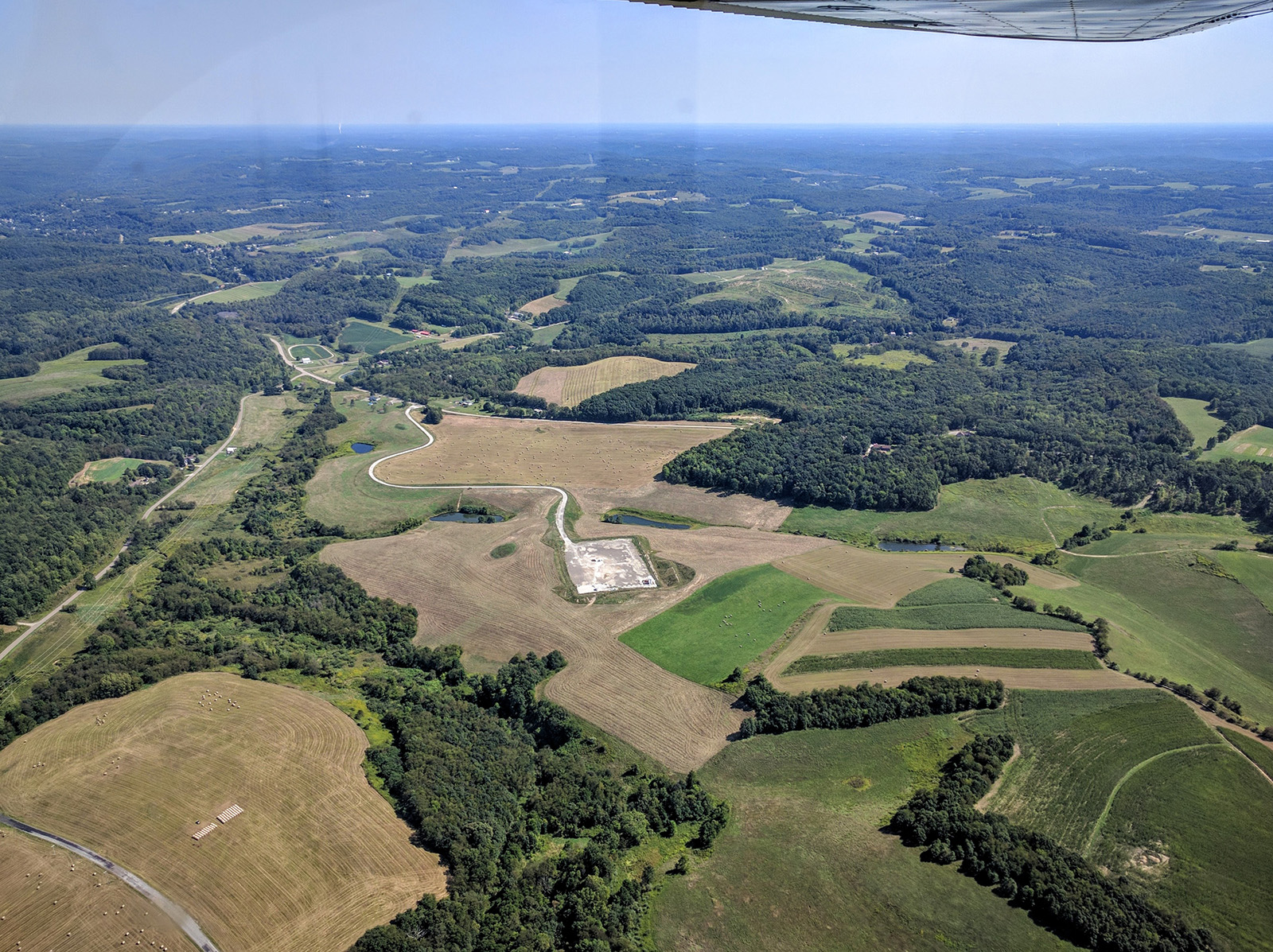
Typical wooded hills over central Pennsylvania

Farms near the Pennsylvania / Ohio border east of Pittsburgh
Clear of Pittsburgh, I squawked VFR and got on the CTAF for Carrol County-Tolson Airport. Nobody was in the pattern as we entered from the northeast on a 45 for left downwind to Runway 7. I landed reasonably softly on the very nice, very new blacktop and taxied to the fuel pump. Another Cessna was there just finishing up replenishing their own stores of 100LL. He taxied away as I turned around and pulled up next to the pump.
The plane again took about as much fuel as expected. It's worth noting that ForeFlight was always within one gallon on its fuel usage numbers throughout the whole trip, which was nice to see. We were back in the air, this time departing straight out on Runway 25, about 20 minutes after arriving.
Atwood Lake, between New Philadelphia and Carrollton, OH

I contacted Akron-Canton Approach and they put us back in the system for flight following the remainder of the trip home. For this shorter leg I leveled at 6,500 feet. The bumps were nonstop during the initial climb but thankfully it was nice and smooth up there.
Approaching Columbus, we got another handoff and more scattered clouds began to appear. Most had bases at 7,000 feet or higher but I did have to make a couple small turns to remain clear where a few big puffy ones dropped down towards our altitude. We passed just south of CMH and downtown as we continued west towards Stewart.
CMH - recently renamed John Glenn Columbus Int'l Airport

Downtown Columbus from 6,500 feet

We got one final handoff to another Columbus Approach sector and controller partway home. I spotted Caesar Creek Lake maybe 25 miles out in the haze. About 15 miles out I began our final descent into the warm air; the AWOS at Wright Brothers was reporting very light winds so I anticipated the traffic at 40I would be landing to the west per usual during calm winds. I descended down to pattern altitude flying about a mile north and parallel to the runway to visually check for the usual allotment of NORDO traffic.
Almost home - somewhere between Columbus and Dayton

A plane I didn't recognize was departing the airport (easy to identify thanks to the N Number displayed on my iPad's screen) to the west. He made a departure call on the CTAF and I replied saying we had him in sight and would make a crosswind entry to the left downwind for Runway 26 behind him as he climbed westward. Turning final, I was at least 100 feet high, but I added in all the flaps to drop in over the trees. We touched down long but softly on the familiar turf.
Safely back on the parking pad at Stewart

Flight Track: Google Earth KMZ File
Today's Flight: 5.6 hours
Total Time: 372.0 hours


Congratulations on logging your longest time in the left seat in a single day! Given the upholstery in most rentals, you just may have left a permanent imprint. :-)
ReplyDeleteDon't beat yourself up about the Clearance Delivery vs Ground Control thing. When departing anywhere VFR, you are not on a clearance, only IFR traffic is. As a result, I've had people on the Red Board (including a controller) tell me that I should not be calling CD when departing VFR. Of course, it's SOP at both Rochester and Kalamazoo (and other places) to call CD regardless of being VFR or IFR. It's SOP at other airports that CD does not want to hear from you unless you're IFR (I've encountered that, too). In other words, practices vary locally such that it's hard to know which is appropriate as a first time visitor to the airport. And if you call the wrong one, they'll do exactly what you experienced and tell you to call the other - no big deal.
Really glad to see you getting some hours this year!
I've got this weird feeling of déjà vu; I think we've possibly discussed this exact issue before! Fitting that the last time I was similarly forgetful was in Kalamazoo, if I recall correctly.
DeleteThe trip was a great time-builder for sure. I won't go so far as saying it's significantly improved proficiency given my very random pattern of logbook entries this year. It's been 2 months since the trip and I haven't yet flown again!
Regardless, I've somehow already exceeded 2015's total. Hope to log at least a few more before Christmas.
Congrats on the flight time! GA, the link to family visits, yep, it works.
ReplyDeleteI like the idea of the clearance on the airport diagram. I usually have it open but copy on my knee board. I will have to try your system.
The ATIS usually has info about picking up clearance, I guess they only note IFR. I agree with Chris, it varies between airports and the controller will just give you the correct frequency if needed.
To be fair, it was somewhat a matter of poor planning begets necessity... I didn't have paper handy when they started reading my clearance!
DeleteReal pen and paper is still my preferred method but the FF doodles are useful. Even more useful is marking/highlighting on airport diagrams to draw attention to things in there NOTAMs like rwy/twy closures.
Agree on the usefulness of GA! I'm actually debating finding a club with something a bit faster if this becomes a regular route.
I still prefer pen and paper, too. It's faster for me. I do like ForeFlight's annotation function, but I usually use it during preflight to record NOTAM information on approach plates or airport diagrams.
DeleteYep, I've come to do the same - or at least did so while planning this whole big Boston Trip.
Delete